|
|
 |
Lesson 9: Background: Fog and a bit on Stratus
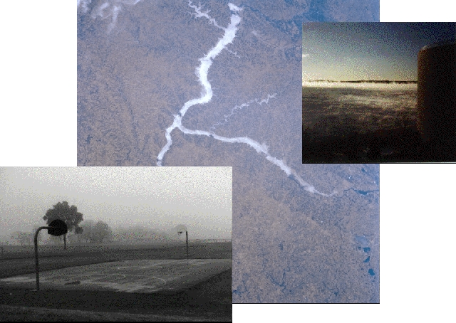
The air in contact with the ground can become saturated if it cools or when water from the surface evaporates into it. Water vapor then condenses on cloud condensation nuclei to form a suspension of tiny water drops. This is a cloud at the ground, which we call fog.
Fogs are named for how they form. Four different types of fog are: radiation fog, advection fog, evaporation fog, valley fog and upslope fog.
A fog is a suspension of minute water droplets in the atmosphere near the ground. Fogs form when air becomes saturated due to cooling and/or. Fogs form either through cooling of the air to the dew point (producing radiation fog, advection fog, or up-slope fog) or by increasing the dew point through the addition of water vapor molecules to the air (producing steam fog or evaporation fog).
Radiation Fog
Surface radiation fogs form on clear, long nights as the ground rapidly cools by radiation and the air just above the ground cools by conduction and radiation. As the temperature of the air drops, the relative humidity increases. Since radiative cooling near the ground is more rapid on clear nights, radiation fogs tend to develop on clear nights. Light winds are also required because they can gently mix moist air near the ground. Winds that are too strong mix the air near the ground with the drier, warmer air above keeping the air near the surface from saturating.
Advection Fog
When warm air is advected over a cold surface, the air near the ground cools due to energy exchanges with the surface, the relative humidity increases, and an advection fog may form. Advection fogs can also occur when warm air flows from over the water to cooler land.
Upslope Fog:
As the air rises,over a mountain barrier. it expands, cools, and approaches saturation creating an upslope fog. Upslope fog is common in moist mountainous regions such as the Appalachian Highlands. This type of fog forms best when the air near the ground, before flowing upslope, is cool and moist. This way it does not have to be lifted too high before saturation occurs.
Stratocumulus are common in certain regions, such as coastlines and in valleys. Marine stratocumulus layers are very persistent off the California and South American coastlines. In those regions, moist air flows over cooler waters and becomes saturated. Stratocumulus clouds are also associated with fronts. When accompanying a large weather system, stratocumulus are often the last cloud to appear before the skies clear completely.
Marinestratus.
Shallow convection over warm water.
Detecting fog during the daytime.
Detecting fog at night.
Distinguishing fog from stratus.
Predicting fog formation and dissipation.
Actinea
Return to Lesson 9
Return to Satellite Meteorology Main Page
|

