|
|
 |
Lesson 9: Fog
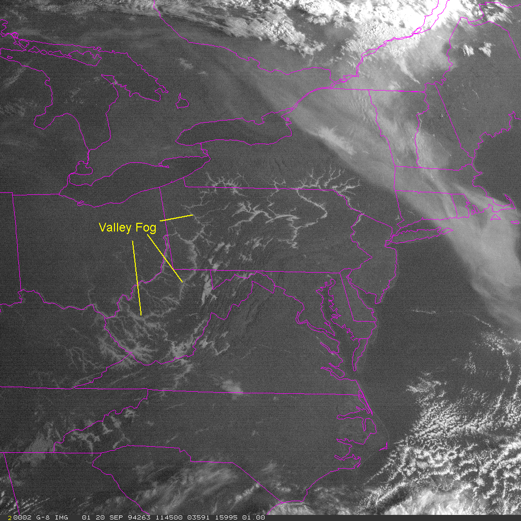
During daylight there is a strong contribution of reflected solar energy by fogs and stratus in the 3.5 to 4 micron region. The reflected energy dominates any differences resulting from thermal emmission; however, the higher spatial resolution of the visible channel usually dominates any advantages of the brightness temperature differences in the IR. For example, valley fogs are easily recognized in visible satellite images as they follow the contours of river valleys. The brightness temperature difference is useful for detecting low clouds over snow as the reflectance ooff a snow covered sground in the shortwaver IR is much less then for liquid clouds.
Distinguishing fog from stratus
Reflectence at 3.9 microns
Return to Lesson 9
Return to Satellite Meteorology Main Page
AOS Main Page
Current Madison Weather
CIMSS GOES Gallery
|

