 |
 |
|
|
|
Lesson 4: BackgroundInterpreting Satellite Infrared Images
All objects emit radiation in amounts related to their temperature and the degree to which they can emit radiation. An IR instrument provides information on the temperature of land, water, and clouds by measuring the infrared radiation emitted from surfaces below the satellite. The radiant energy measured by infrared radiometers is converted to a temperature. IR imagery can be used to distinguish low clouds from high clouds. Low clouds are relatively warm and appear gray in satellite IR images. Thick cold clouds, like the tops of thunderstorms, appear bright white. 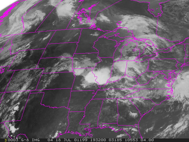 A combination of visible and infrared imagery can be used to differentiate cloud types. Difference in the solar and infrared properties of different clouds allow us to distinguish different cloud types. For example, stratus clouds can be easily distinguished from thick cirrus. Stratus are gray in the IR image and bright white in the visible image, while thick cirrus are white in both images. Yet another dimension can be added to satellite observations by instruments that measure water vapor in the atmosphere. Click here to see an applet allowing fading between the visible and infrared images |