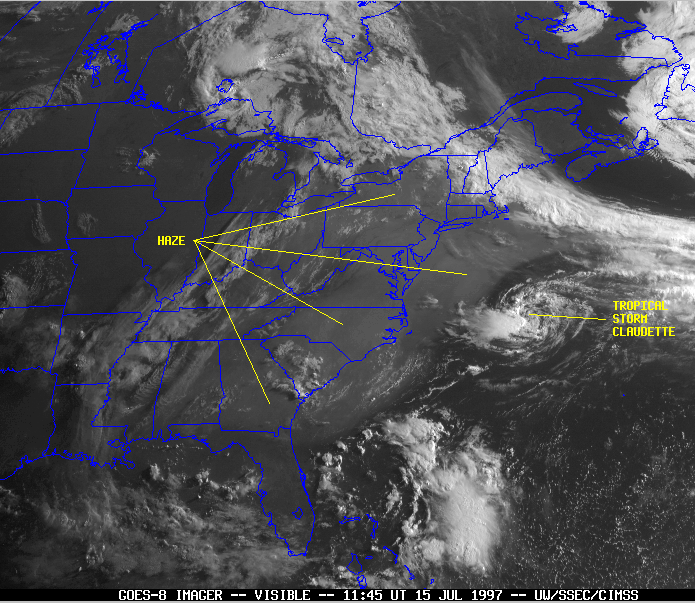
Lesson 1
Meteorological Satellite Orbits
Lesson 2
Review of Radiative Transfer
Lesson 3
Visible Image Interpretation
Lesson 4
Infrared Image Interpretation
Lesson 5
Multispectral Image Interpretation
Lesson 6
Fires & Aerosols
Lesson 7
Winds
Lesson 8
Sounders
Lesson 9
Fog and Stratus
Lesson 10
Thunderstorm
Lesson 11
Energy Budget
Lesson 12
Hurricanes
Lesson 13
Global Circulation
Lesson 14
Synoptic Scale
Lesson 15
Local Circulation
Lesson 16
Satellite Oceanography
Lesson 17
Precipitation

Lesson 6: Pollution and Haze

Haze often occurs when a high-pressure system stagnates. Satellite observations provide information on the extent and movement of the haze. Haze appears as a smooth, gray area in visible satellite imagery. Visibility can be low in regions of haze. GOES image of haze over the east coast

A pollution event on 16 July 1999.


This material was obtained from the CIMSS GOES Gallery web page.

Return to Lesson 6

Return to Satellite Meteorology Main Page