|
 |
|
|
|
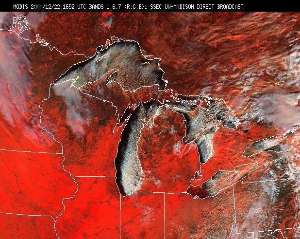
Lesson 9: Background: Fog and StratusCloud StreetsThis page shows two examples of cloud streets, one from MODIS over the Great Lakes and the other from GOES over the ocean. What are the advantages and disadvantages of these two instruments? The MODIS RGB image below (Bands 1 (.66 mm), 6 (1.64mm) and 7 (2.1 mm)for Red, Green, Blue) shows cloud streets over the Great Lakes on 22 December 2000. In this image, red areas are snow covered.
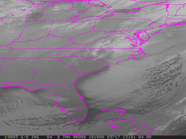
The IR image below shows cloud streets associated with a cold air outbreak over the Gulf of Mexico. Cloud streets align with the direction of the wind and become wider as the convection becomes deeper.
|