|
 |
|
|
|
Lesson 7: Background: Winds
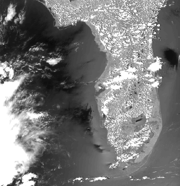
If you have spent much time during the summer at the beach, absorbing UV radiation to darken your skin or just beachcombing, you've probably noticed that at around 3:00 p.m. there often is a strong steady wind blowing in from the water. This steady wind, the sea breeze, is a result of the uneven heating during the daytime between the land and the adjacent water. At night the wind often reverses direction and blows from the land to the water (a land breeze). Land and sea breezes are referred to as direct thermal circulations. The sea breeze in this AVHRR image indicates on shore flow around the coast of Florida.
The evolution of the sea breeze phenomena is demonstrated in a satellite loop of a sea breeze from approximately 1545 UTC (8:45 am) through 2215 (3:15 pm) at half-hour intervals.
Whenever large land and water bodies are adjacent to one another, sea breezes may develop and may cause thunderstorms. Florida's abundant summertime
rainfall is a result of sea breezes. One sea breeze front advances from the east and one from the Gulf of Mexico side.
Return to Satellite Meteorology Main Page
|