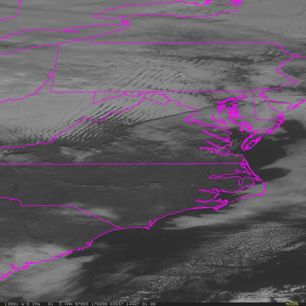
Lesson 1
Meteorological Satellite Orbits
Lesson 2
Review of Radiative Transfer
Lesson 3
Visible Image Interpretation
Lesson 4
Infrared Image Interpretation
Lesson 5
Multispectral Image Interpretation
Lesson 6
Fires & Aerosols
Lesson 7
Winds
Lesson 8
Sounders
Lesson 9
Fog and Stratus
Lesson 10
Thunderstorm
Lesson 11
Energy Budget
Lesson 12
Hurricanes
Lesson 13
Global Circulation
Lesson 14
Synoptic Scale
Lesson 15
Local Circulation
Lesson 16
Satellite Oceanography
Lesson 17
Precipitation

Lesson 7: Background: Winds

Flow around mountains can leave distinct cloud patterns the provide insight on the wind direction and speed.

Mountain wave patterns may appear on the lee side of mountains, as in the GOES visible image below. Flow patterns resulting from orography may be turbulent and should be avoided by aircraft. The wind direction is along the wave pattern. The velocity of the winds in a mountain wave can be estimated by:

V=6 w + 12

Where w is the wavelength in miles of the waves, and V is the wind velocity (in mph).

Mountain waves


Return to Lesson 7

Return to Satellite Meteorology Main Page
AOS Main Page
Current Madison Weather
CIMSS GOES Gallery