|
|
 |
Lesson 3: Visible Imagery
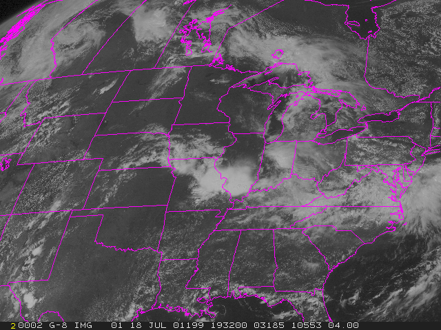
A visible satellite image represents sunlight scattered by objects
on Earth. Differences in the albedo of clouds, water, land, and vegetation
allow us to distinguish these features in the imagery. Dark areas in a
visible satellite image represent geographic regions where only small amounts
of visible light from the Sun are reflected back to space. The oceans are
usually dark while snow and thick clouds are bright.
The brightness of a cloud in the visible image is primarily determined
by the number of water drops or ice crystals in a cloud . Stratus have
lots of particles, thus scatter lots of solar radiation, and appear white
in a visible image. Fog is also very easy to see on visible satellite images.
On the other hand, thin cirrus are difficult to see because there are fewer
ice particles available to scatter solar radiation.
Back
Return to Lesson3
Return to Satellite Meteorology Main Page
|

