|
|
 |
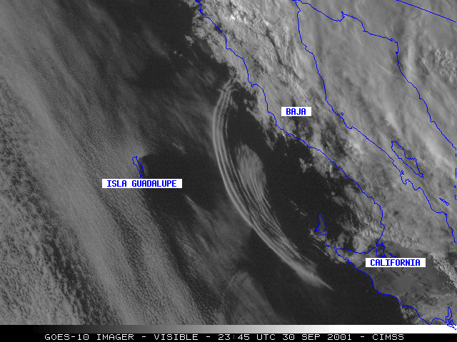
30 September 2001 - Gravity Waves From Tropical Depression Juliette
NOAA GOES-10 visible imagery (above, left) reveals a train of gravity waves propagating westward across the Pacific Ocean between Baja California and Isla Guadalupe, Mexico on 30 September, 2001. The gravity waves were apparently generated by outflow from convection within a rotating outer band of Tropical Depression Juliette. Subtle von Karman vortices are also evident in the animation, moving southeastward in the lee of Isla Guadalupe.
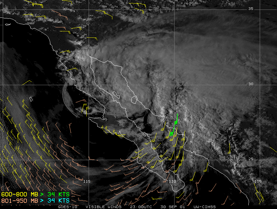
GOES-10 visible cloud-tracked winds produced by the CIMSS Tropical Cyclones team (above, right) showed that this gravity wave feature was moving at a speed of 20-30 knots.
Part of the CIMSS GOES Gallery
Return to Lesson 15
Return to Satellite Meteorology Main Page
|


