Microwave Remote Sensing of Hurricanes
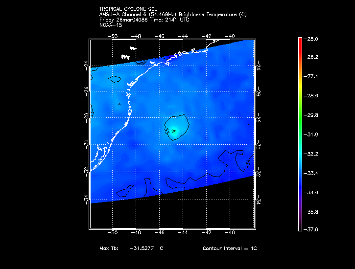
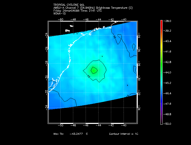
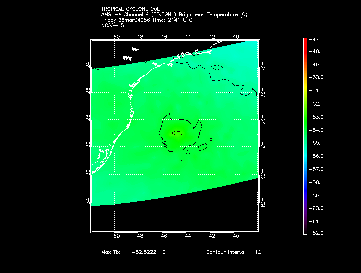
AMSU-A Channels 5-8, as visualized on the UW-CIMSS AMSU Homepage during tropical storm/hurricane events,
measure the storm-related warming at different elevations within the troposphere:
Channel 8 (55.5 GHz) ~100mb (~15km)
Channel 7 (54.94 GHz) ~200mb (~12km)
Channel 6 (54.46 GHz) ~350mb (~10km)
Channel 5 (53.6 GHz) ~550mb (~5km)
As storms mature and the circulation/associated convection become more organized, the amount of microwave radiation
emitted by the atmosphere towards the AMSU-A instrument increases as tropospheric temperatures (again, as a
result of storm-related subsidence/warming) increase. The exception occurs in cases where ice/liquid water droplets
reduces the upwelling radiation due to the effects of scattering (commonly seen in AMSU-A Channel 5).
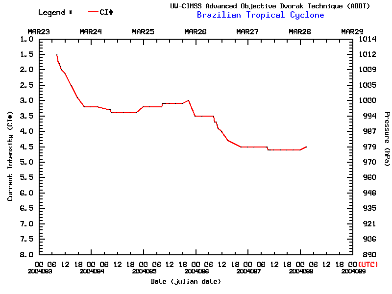
In a qualitative sense, the larger spatial coverage and magnitude of storm-related
warming observed by AMSU-A corresponds to increasing storm intensity/reduced mean sea level pressure (MSLP) as
seen in recent AMSU-A time-series of Hurricanes.
 See the CIMSS tropical page for more satellite imagery.
Return to Lesson 12
Return to Satellite Meteorology Main Page
CIMSS AMSU page
| 
