|
|
 |
Lesson 10: Background
Thunderstorms
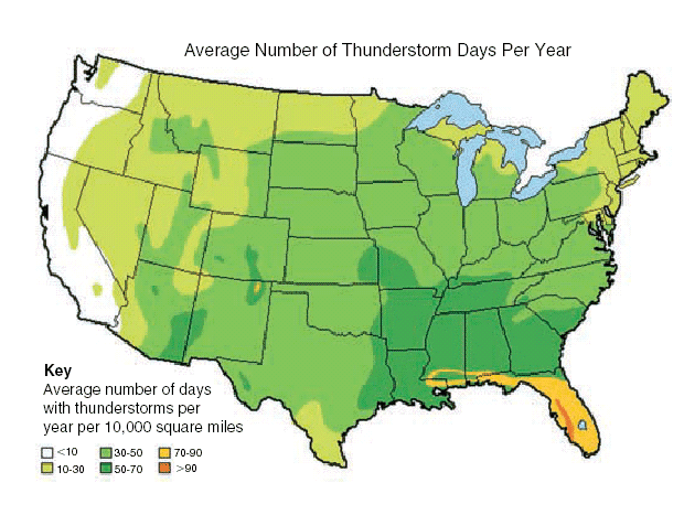
A thunderstorm is a cumulonimbus storm that produces lightning and thunder. There are different types of thunderstorms, some of which produce more severe weather than others. Lightning is potentially deadly. Tornadoes, floods, and hail can be extremely destructive, dangerous severe weather conditions. Satellite observations can play an important role in identifying the location of severe weather.
- Overshooting Tops
- Enhanced V
- Lifted Index
- Squall Line
- 08 August 2001 Storm
- Outflow boundaries on 29 May 1998
- MVC on 8 July 1998
Return to Lesson 10
Return to Satellite Meteorology Main Page
|

