Background Material
Vertical Motion and Stability
Atmospheric stability is a measure of the resistance of the atmosphere to vertical motions. In a stable layer, air that is forced upward is more dense than its surroundings and tends to return to its initail altitude when the forcing is removed. In an unstable layer, air that is forced upward is less dense than its surroundings and accelerates upward, even when the forcing is removed. Stability is commonly evaluated by examining vertical soundings.
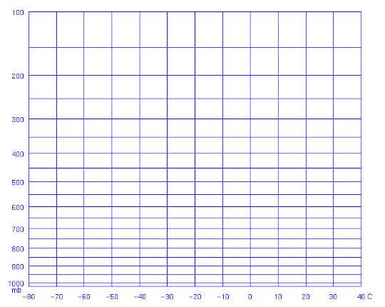
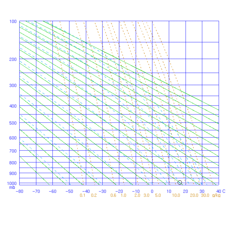
To observe the vertical structure of the atmosphere we attach thermometers and barometers to helium filled balloons. The temperature, dew point and pressure and radioed back to the ground. By tracking the balloon we can measure the speed of the wind and its direction. All these parameters are plotted on a special graph called the Stuve diagram. Let's break this diagram down. First, the x-axis is temperature and the y-axis pressure. Notice that the spacing of pressure intervals on the y-axis varies as a function of pressure. The lower the pressure, the greater the spacing. Note,that if you measure temperature and dewpoint as a function of pressure, you can plot those values on the diagram. We will show that later.
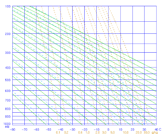
Now to complicate things by adding more lines. As you know, as air rises it expands and cools. How much it cools is a function of whether it rises as the dry adiabatic lapse rate or the moist adiabatic lapse rate. The dry adiabatic lapse rate is a cooling of 10C for each kilometer the air parcel rises. The moist adiabatic lapse rate is a function of the vapor pressure, on averagy it is about 6.5C per km. The dry adiabatic lapse rates are the green curves below and the blue dotted lines are the moist adiabtic lapse rate. So what are the dotted orange lines? They are lines of constant mixing ratio.
When an air parcel rises, if it is not saturated, it follows the dry-adiabats, or the blue lines. In the animation below, an air parcel starts out at 900mb with a temperature of about 18C. It is lifted to 600mb where its new temperature is about
-22C.
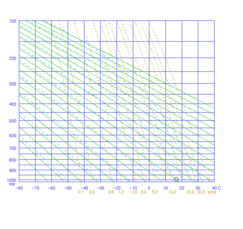
If the rising air parcel is saturated, it follows the moist-adiabats, or the dotted blue lines. In the animation below, an air parcel starts out with a relative humidity of 100% at 900mb with a temperature of about 18C. It is lifted to 600mb where its new temperature is about
-5C. much warmer than the air lifted along the dry adiabat!
In addition to plotting temperature and dew point, we will also plot wind speed and direction on the right hand side of the figure.
Return to Lesson 5 Page.
Return to Weather For Pilots Main Page
Local Madison Weather