| Lesson 9: Turbulence |
This lesson focuses on thunderstorms and the dangers they pose to flight.
Assignment
1: Quiz
|
|||
|
|||
Assignment
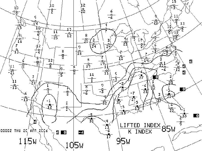
2: Stability Panel
|
|||
|
|
||
Assignment
3: Title of Assignment
|
|||
|
|||
Assignment
4: Title of Assignment
|
|||
|
|||